Indoor Maps
Indoor maps — floor plans of a hospital, school, factory, stadium or shopping centre with named zones (rooms, wings, corridors, stairwells, hazard zones, assembly points, staging areas, access points, utility rooms, search grids) — are one type of custom map. They are created and edited on the Custom Maps page with the map type set to Indoor:
- each floor is a floor-plan layer (an image; large images are tiled automatically),
- each zone is a region drawn in the Region Editor with a type, colour, description and a searchable in dispatch flag,
- zones can carry pre-plan attachments and hazard markers.
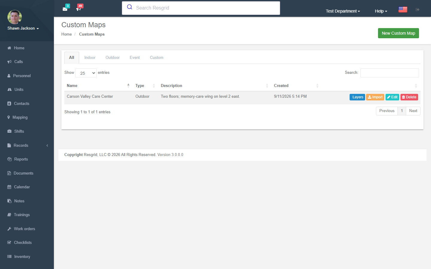
Dispatchers pick an indoor location (map → floor → zone) on the New Call and Update Call pages; the apps show the floor plan with the zone highlighted, and search teams can mark Search grid zones during large-structure searches. Occupancies in Records link to the building's map for pre-plan walk-throughs.
The older /User/IndoorMaps/* links still work — they redirect to the equivalent Custom Maps page.
Read the full guide: Custom Maps → Managing floors, Managing zones, Using custom maps in dispatch.
Setup examples
| Department | Use |
|---|---|
| Fire / EMS | Hospitals, care homes, schools and high-rises in your first-due area: mark FDC, standpipe, utility rooms and hazard zones. |
| Campus / healthcare security | Every building; access points and assembly points searchable in dispatch. |
| Industrial | Process areas as hazard zones, muster points as assembly points. |
| Event / venue | Concourses, gates, medical rooms and staging areas on an Event map. |
Technical reference
| Item | Value |
|---|---|
| Controllers | CustomMapsController (Index?type=0, New?type=0, Edit, Layers, RegionEditor, Import, GetLayerImage, GetLayerTile); IndoorMapsController redirects to it |
| Model | CustomMap (CustomMapType.Indoor = 0), CustomMapLayer (floor plan / overlay / data / infrastructure), CustomMapRegion |
| Call fields | Call.IndoorMapFloorId, Call.IndoorMapZoneId |
| API | api/v4/CustomMaps/* for the apps |